I thought we had been hiking sufficiently to stay in shape, but that was in the corridor and day-hiking on the Hermit. No packs. Hermit is rough, but as rough as the Hermit is compared to the BA or SK, it is still a threshold trail. I had my brand-new REI Flash 55, which is FIVE pounds lighter than my old pack, so at least my pack weight was below 25 pounds.
We started down Grandview in snow and ice. Second week in October, and of course it snowed. I had my ice grippers in the car, and I didn't even make it across the parking lot before I went back for them. The ice at the top did stop most of the "ooh, look, there is a trail here" hikers.
The Supai section of the Grandview was in good shape before our summer rains. Now they are as bad as I have ever seen them. At least a dozen places the trail is gone, and one has to climb up, down, and around a huge rockslide. My stupid knee collapsed under me, which hurt, but I soldiered on. I didn't trust it fully for the next four days, however.
The west end trail down is about the same, though a few what may be new slides. I do not traverse it enough to remember. We had heard reports of a huge fire at Cottonwood Creek, and sure enough, most of the cottonwoods in the upper spring are history. Someone had to burn their toilet paper rather than put it in a bag and carry it. How is burning wet paper supposed to work anyway?
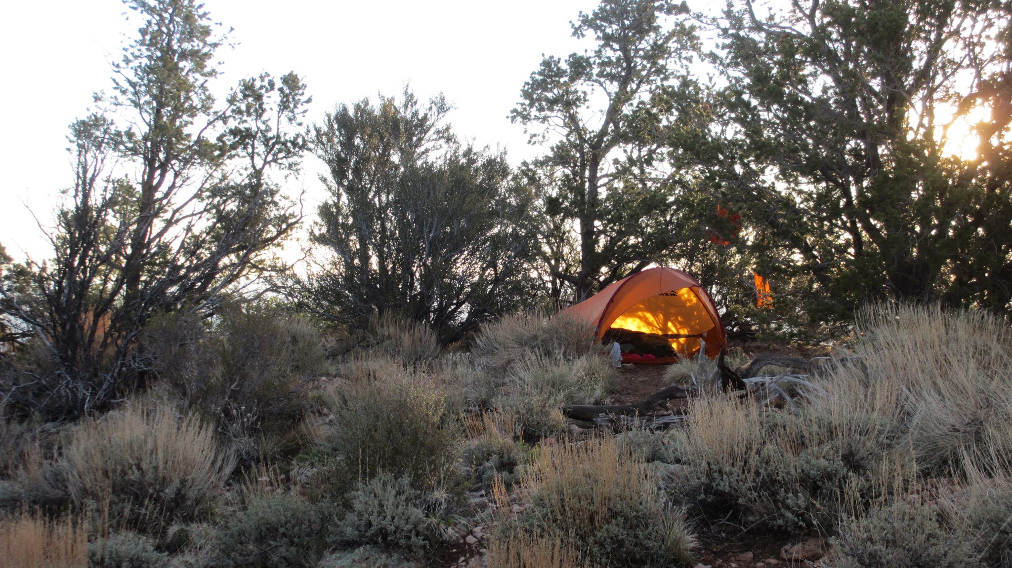
Cottonwood flashed big this summer, and the lovely little waterfall where the Tonto crosses the Tapeats is gone. So is the campsite we used during our spring survey. It used to sleep ten people, but now it doesn't even fit one person. We bedded down under where the Tonto used to cross, just before a commercial group showed up, hee, hee.
Hance creek next night. Lots of flowing water, and Mel and I walked downstream for about two miles before the water got deep enough that it needed wading chest deep, so we turned around. The canyon seems to open up beyond, and I think it is possible to get fairly close to the River, but probably not the whole way without ropes.
Down to Red Canyon, which is about as rugged as always. No surprises. Camped on the beach after a discussion about trying to find the Alleged Spring of which I had heard rumors. Supposedly where the route out leaves the stream bed, there is a spring just up the creek bed. Since everything was running with water, we figured there might be potable water there, rather than settling the Colorado, which was the color of milk chocolate. however inertia set in, and we put out muddy water to settle and camped near the River.
In the morning we started out the Red Canyon route. There used to be a number of rock jams to get around which could be bypassed by going up the banks, but we only found one, and the bypass route had apparently been washed out. As the other rock jams seemed to be.
When the trail climbed out, Mel and I took off to find the Alleged Spring. We found potholes and running water, and willows, which are water indicators. We are fairly certain than during spring or just after a rain, this would be a legitimate water source. We also found stromatolites in the rock. Duh, where else would they be?
Climbing up was hard. Again, Duh. But harder than expected. I had not carried a pack for nine months, and I had not been on a multi-day out-of-corridor hike in years. It used to take us four hours to climb out Hance, this time it took between five and six. I do not count all the times I had to throw my pack up ahead of me on a big rock because I could not trust my knee.
I remember how bad the Hance was, but not HOW bad it was. I shall never go down that trail again, and I may not ever go up it either. We had always bypassed Hance and hiked an extra day to to out Grandview, and now we remember why.
 |
| One of the new rockslides on the Grandview |
 |
| Trekking on the Tonto East |
 |
| In Gollum's cave |
 |
| Stromatolites. Also Brad. |